MAP READING SERIES PART THREE: Teaching a General Overview of a World Map by Marilyn Buehrer, Teacher

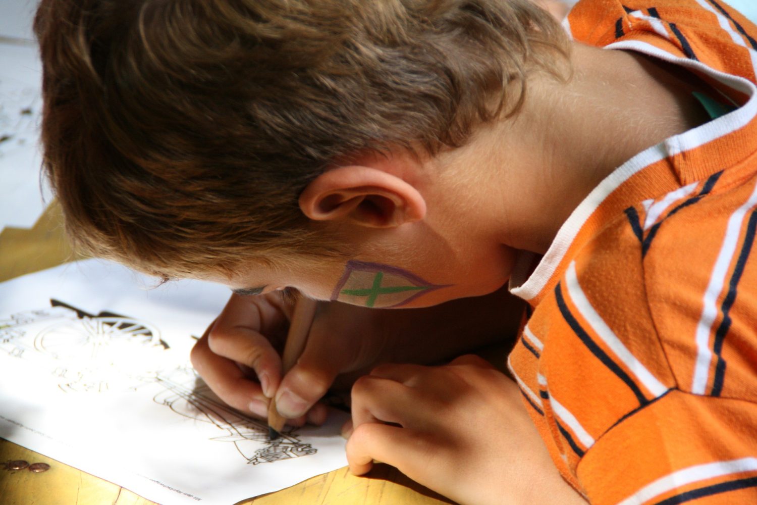
A child drawing by Heinrich Hess from Pixabay
When teaching kindergartners an overview of a world map, it’s important to give students enough time to look at the maps. Do not overwhelm them with challenges that are too numerous or complex. Tell students the following information, but do not expect them to memorize it or even remember it the first time they hear it. This is just a beginning overview. A kindergartner’s world is their own neighborhood.
Hand each kindergartner a world map. Explain: The world map displays a view of all the continents on Earth from space.
A world map shows:
- Continents:
- Africa
- Europe
- Asia
- North America
- Australia
- South America
- Antarctica
- Countries
- The continent of Africa has 54 countries.
- The continent of Europe has 51 countries.
- The continent of Asia has 50 countries.
- The continent of North America has 23 countries.
- The continent of Australia has 14 countries.
- The continent of South America has 12 countries.
- The continent of Antarctica has no country and no permanent inhabitants.
- States
- The United States has 50 individual states; 48 contiguous and 2 noncontiguous. Contiguous means that 48 states touch each other. The noncontiguous states that do not share borders are Alaska and Hawaii.
- Cities
- Towns
- Oceans: Pacific, Atlantic, Artic, Indian, Southern Ocean
Ask kindergartners which continent they live on and point to North America.
Ask students why part of the map is blue? (It represents bodies of water.)
Collect the world maps.
Hand out maps of the United States.
The United States is a country on the North American continent.
There are 48 contiguous states and two noncontiguous states: Alaska and Hawaii.
The United States is included in the map of the world.
Help students locate their state on the map of the U.S.
Hand out maps of their state.
All states are included on the map of the United States.
Help students locate their city on the map.
Collect the maps of their state.
Hand each student a map of their city and explain:
All city maps are within the world map.
The city map zooms in on a particular area.
City maps are used to navigate from one place to another.
Your neighborhood is within the city map.
Collect the city maps.
Hand out blank sheets of drawing paper, pencils, and crayons. Start with a very basic map.
Ask students to draw a map of the classroom.
Ask students to add the playground.
Ask them to draw a route from the classroom to the playground.
What other places can go on your map?
Your house
Backyard
Park
Grocery store
Grandparents’ house
Best friends’ house
Collect the maps of the United States.
Encourage parents to:
Help their children draw rooms in their home.
Take a walk around the block with their children, looking for landmarks to include in a neighborhood map. Use simple shapes to draw and label objects such as furniture, playground equipment, and stop signs.
Talk about directions with their children: “Which way do we turn at this stop sign? Right or left?”
Put a map of their town on a wall in their home where children can easily access it and refer to it.
Draw a treasure map to a special object somewhere in the house or a particular room. Encourage children by using spatial language such as “It’s under a pillow” or “It’s inside a cabinet.”
Ask their children to draw an interesting new route from their house to a store or relative’s house across town. Then take that drive and ask the children if it was the best route, or a better route than the one they usually take and why. Did they get to see things they never usually get to see? Was it faster?
In this way, the overview we started with at the beginning of this lesson grows into teaching about place and direction in the child’s own home and neighborhood, giving them invaluable knowledge for day-to-day life.
A wonderful aid to map reading skills and the ability to find your place is Lyric Power Publishing’s comprehensive supplemental workbook My Book on Directions and Prepositions of Place.
Marilyn Buehrer was a public-school English teacher in Washington, California, and Arizona, a national motivational speaker and educator to home-schoolers for nearly a decade, as well as a workshop speaker at home school conventions nationwide and at public middle school consortia in Arizona. She is the developer of Lyric Power Publishing’s comprehensive Workbooks and Activity Sheets.
To learn about our latest science-based children’s books and workbooks, to read our latest blog posts about reptiles, birds, cats, and gardening, in a variety of locations, and about how the books come to be, what inspires an author to write, and many more interesting aspects of the publishing business, fill in the box below and we will add you to our email list.
Thank you!


